Search
  • Facilities
  • Milestones
Map configuration
Control the saturation of the background map. The smallest value makes the map grayscale, while the largest value makes the map full color.
Control the opacity of the background map. The smallest value makes the map transparent, while the largest value makes the map opaque.
The tile URL for the background map.
Raster tiles: A URL serving raster tiles. See the wiki for a list of raster tile providers, for example https://tile.openstreetmap.org/{z}/{x}/{y}.png.
Vector tiles: A URL specifying a vector style. See the wiki for a list of vector tile providers, for example https://americanamap.org/style.json.
Control the theme of OpenRailwayMap. The default is to follow the system and browser preferences. A light or dark theme can also be configured.
iD is an in-browser application used as default editor at openstreetmap.org.
JOSM is a local desktop application. Ensure that the option Remote control is enabled. The JOSM integration also works with compatible remote-controllable apps like Merkaartor.

About

OpenRailwayMap banner

Welcome to the OpenRailwayMap!

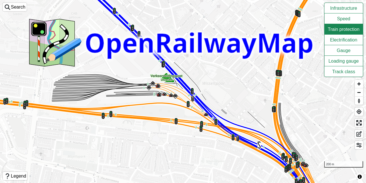
This project shows railway infrastructure, speed limits, train protection, electrification and railway gauges of present and historical railway data using OpenStreetMap and OpenHistoricalMap data for all around the world.

Suggestions, improvements and discussions are welcome! You can find the project homepage of the OpenRailwayMap on Github. Start a discussion on the Discussions page on Github, or create an issue in the Issue tracker on Github. It is possible to contribute improvements directly by creating a Pull Request on Github. Be sure to read the contributing instructions. Alternatively, it is possible to contact the author directly using email.

Documentation about the OpenStreetMap data can be found on the OpenRailwayMap wiki pages.

News